The Marajó Basin is a Paleozoic basin developed on Precambrian crust that was later reactivated during Triassic extension in the South Atlantic. The basin is comprised of four sub-basins, the Mexiana, Limoeiro, Cametá, and Mocajuba, which were filled with rift and post-rift sediments. Zalán and Matsudo (2007) state that post-Cretaceous beds are “absolutely horizontal, without any indication of deformation whatsoever.”
The post-rift stratigraphic column consists of
Upper Cretaceous-Eocene Limoeira Formation (up to 3000 m thick), deposited in a nonmarine-transitional marine environment;
the Eocene-Oligocene Marajó Formation (up to 2000 m thick), deposited in a coastal environment,
the fluvial-estuarine Miocene Barreiras Formation and
the fluvial Plio-Pleistocene Tucunaré Formation (the latter two together up to 500 m thick). Contacts between these units in most places are conformable and concordant.
Our site in the western Marajó Basin will be drilled in proximity to well 2JDST1PA on the eastern flank of the Gurupá Arch. Here we intend to drill to 1280 m total depth, encountering:
(1) Tucunaré Formation, 0-230 m, argillaceous sediments with sand interbeds;
(2) Marajó Formation, 230-1030 m, argillaceous sediments with sand and silt interbeds;
(3) Limoeiro Formation, 1030- 1280 m, argillaceous sediments with sand interbeds, non-conformably overlying igneous basement.
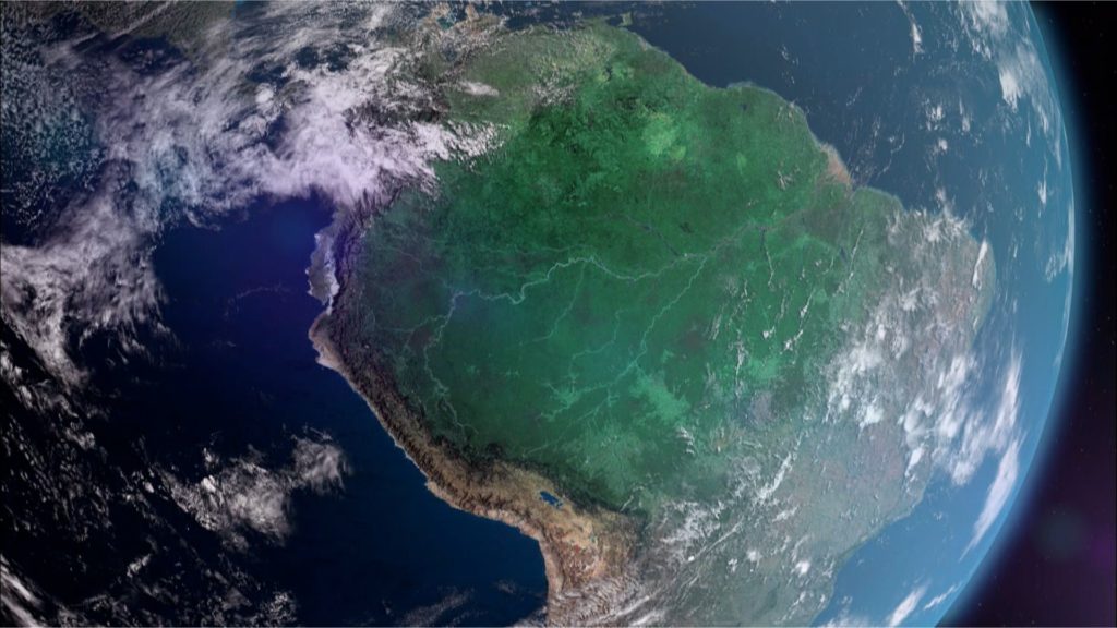
Seismic reflection data confirm the conclusion of Zalán and Matsudo (2007) that the post-Cretaceous strata are “absolutely horizontal, without any indication of deformation whatsoever.” Access is very easy as the site lies on the Furo Santa Maria at the south end of the Straits of Breves, the main shipping route between Belém and the main-stem Amazon River, about 230 km west of the major port city of Belém.
Drilling objectives in the Marajó Basin include:
determining the spatio-temporal pattern of biodiversity and climate;
recovery of a nearly complete succession from late Cretaceous to modern that can be very well dated from abundant intercalated marine sediments and can be correlated laterally with sediments recovered from drill site TADP-AM-2 in the adjacent eastern Amazonas Basin. This site, as the Acre Basin, will provide an independent chronology for constraining palynostratigraphy of the Amazon region;
accurate dating of the timing of the drainage connection across the Gurupá Arch between the eastern Amazonas Basin and the Marajó Basin, and determination of when this arch ceased to act as a hydrologic and, possibly, genetic barrier.